

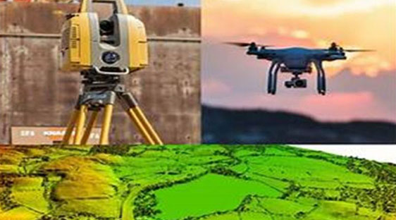
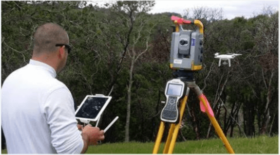
The survey will involve determination of the area to be surveyed and the specific information required from the topographic survey, Data Acquisition, Data Processing, Analysis and Mapping.
Validation and Quality Assurance, Drone-based topographic surveying offers advantages such as rapid data collection, high spatial resolution, cost-effectiveness, and accessibillity to hard-to-reach or hazardous areas. It is widely used in various industries, including construction, engineering, agriculture, environmental management, and land development, for applications such as site planning, volumetric analysis, infrastructure design, and land-use planning.
The Drone and Topography surveys services offers:
- Lidar Data collecting
- Generate Digital Elevation Model (DEM)
- Generate Digital Surface Model (DSM)
- Aerial Photography and Video for virtual 3D models
- Thermal Imagery
- Vegetation Index Maps
- Volume Calculations for Minning
- Contour Maps
- Topographic Maps
- Slope Analysis Maps
- Cut and Fill Calculations Models
- Geotechnical Data
- Feature Inventories.
