

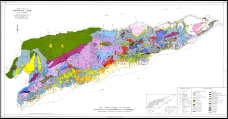
The geological mapping survey will provide you better geological information with following services stages such us :
- Determine the purpose and scope the geological mapping survey, such as hydrocarbon or mineral exploration, environmental assessment, geological hazard identification, or relevant research.
- Geological Fieldwork with Reconnaissance survey, Data collection, Sampling, and Measurements.
- Data analysis will cover interpretation, Mapping and geological to visualize the subsurface geological features and their spatial relationship;and
- Reporting and Presentation as a detailed geological report that documenting the survey methodology, findings, interpretations, and conclusions and also through Presentation of the survey findings to stakeholders, clients, or academic audiences through oral presentations, technical reports, and publications.
The Geological survey services offers:
- Geological Maps
- Geological Cross Sections
- Natural Resources Assessment
- Soil Assessment
- Stratigraphy Models
- Geohazards Assessment
- Geological Site Inventory.
